Park Ecology
Water Resources
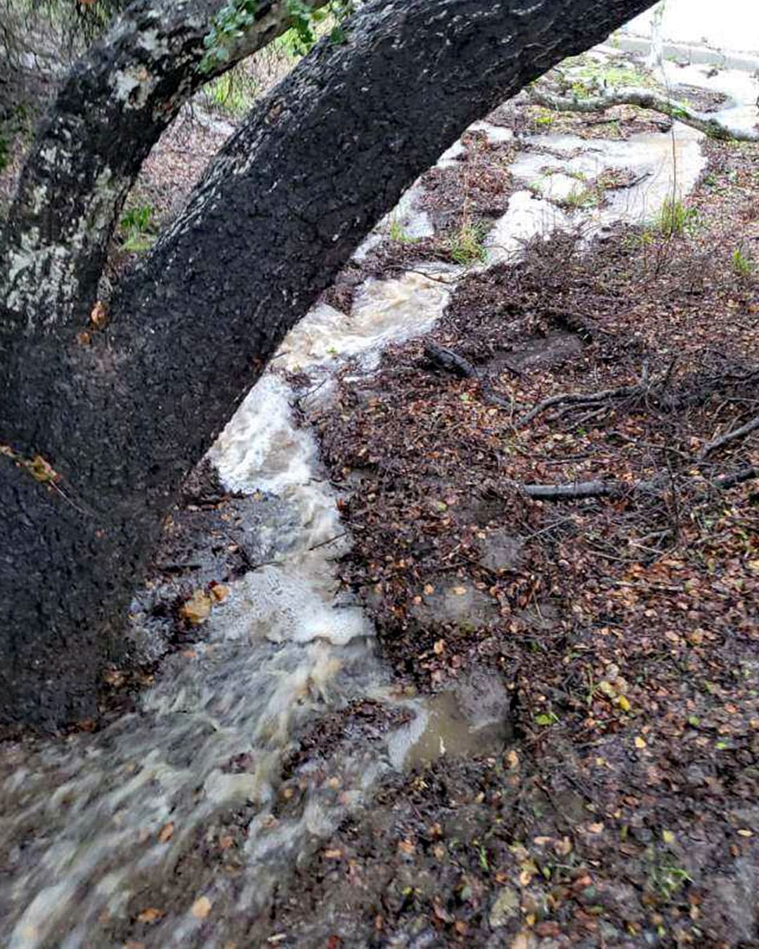
Several dry “ephemeral” drainages were mapped, most at the northernmost park border and one at the southernmost border near a wetland feature (see map).
Ephemeral drainages are created by brief surface flows during and after heavy rainfall. Most of the park’s drainages have human impacts, such as cement-lined channels. Some were less impacted and contained low, dense vegetation made up primarily of grasses and annuals, plus some shrubs.
One small wetland was found along the side of the paved entrance road near the park’s southern boundary. It contains grasses, sedges, and riparian willows.
Support the Park
Elings Park is not operated by the city or county but is sustained through the generosity of public support. These contributions make it possible to care for, enhance, and preserve the Park for all who enjoy it. Your support helps ensure its beauty and vitality for years to come.